Professional royalty-free TOPOGRAPHY stock photos and editorial news pictures from Shutterstock
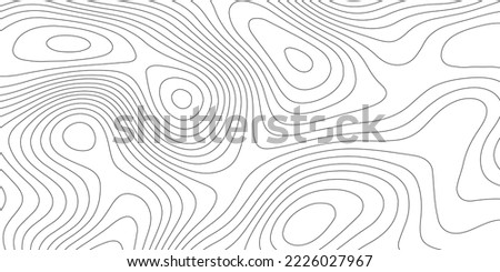
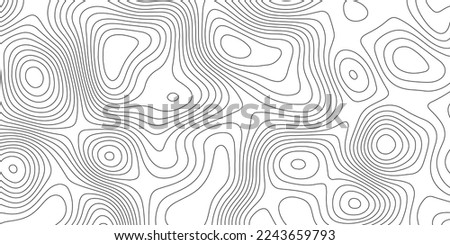
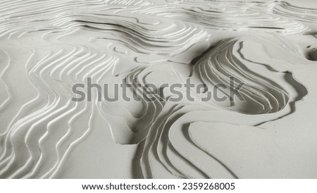
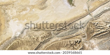
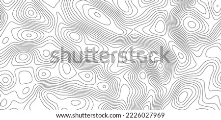
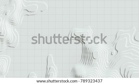
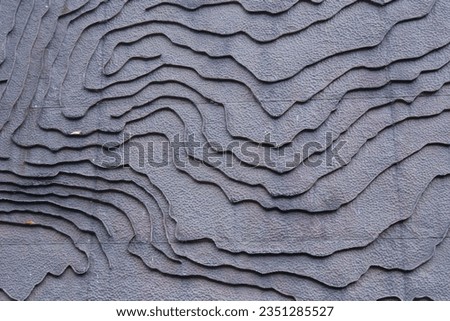
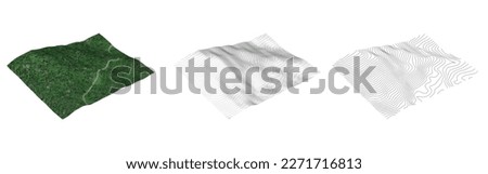
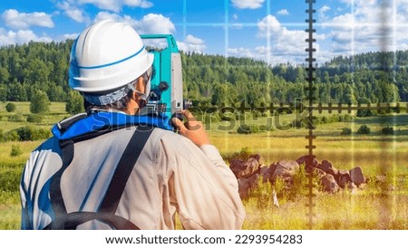
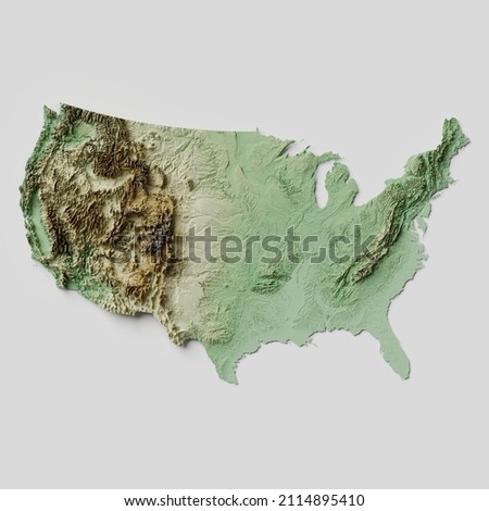
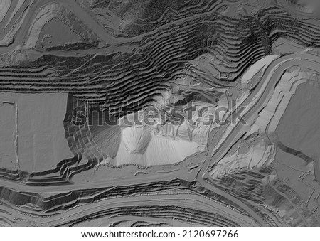
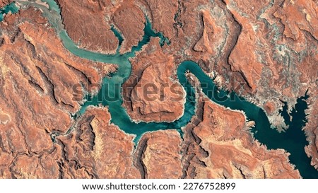
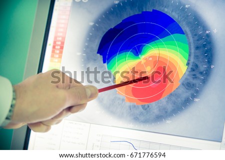
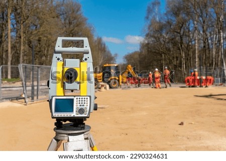
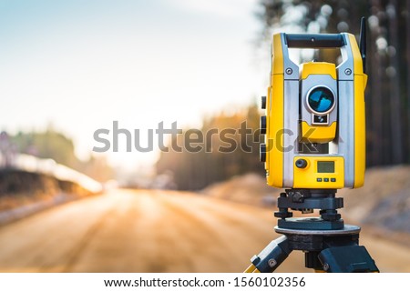
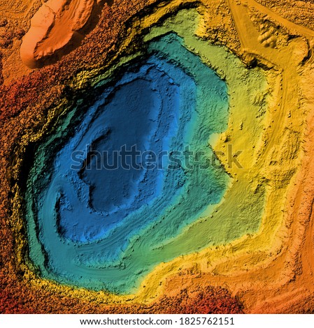
Topographic contour map. similarcartography illustration. Topography and geography map grid abstract backdrop. Business concept. Fish Fillet Texture, Salmon fillet texture, fish pattern. paper texture Royalty-Free Stock PhotoTopographic contour map. similarcartography illustration. Topography and geography map grid abstract backdrop. Business concept. Fish Fillet Texture, Salmon fillet texture, fish pattern. paper texture Royalty-Free Stock PhotoAbstract background with waves Geographic mountain relief. Abstract lines background. Contour maps. Topo contour map on white bac Royalty-Free Stock PhotoTopographic contour map. Vector cartography illustration. Topography and geography map grid abstract backdrop. Business concept. Fish Fillet Texture, Salmon fillet texture, fish pattern. paper texture Royalty-Free Stock Photosurveyor working with forest topography map in digital tablet. land surveying Royalty-Free Stock PhotoAbstract background with waves Geographic mountain relief. Abstract lines background. Contour maps. Topo contour map on white bac Royalty-Free Stock PhotoTopographic map background concept. Topo contour map. Rendering abstract illustration. Vector abstract illustration. Geography concept. paper texture design .Imitation of a geographical map Royalty-Free Stock PhotoContour models. Topographic map lines. Topographic abstract illustration for concept design. Realistic 3D topographic relief Royalty-Free Stock PhotoAerial top view of sand terrain, desert land in satellite photo, topography, Earth surface map. Relief pattern background, landscape and topography theme. Elements of this image furnished by NASA Royalty-Free Stock PhotoTopographic contour map. similarcartography illustration. Topography and geography map grid abstract backdrop. Business concept. Fish Fillet Texture, Salmon fillet texture, fish pattern. paper texture Royalty-Free Stock PhotoMap line of topography. Rendering abstract topographic map concept with space for your copy. 3D waves. 3D Cartography concep background. Map mockup infographics. World map Template. Wavy backdrop Royalty-Free Stock Photoabstract texture with topographic contour. abstract cartography texture Royalty-Free Stock Photoset of isometric map mountain object. isometric mountains contour with real map landscape forest white tone color shadow shape and line terrain, illustration. isometric for mountain element, concept. Royalty-Free Stock PhotoMan surveyor. Guy makes topographic picture nature. Surveyor with his back to camera. Topographic worker. Builder with geodetic instrument. Geodetic surveys of area. Optical theodolite in man hands Royalty-Free Stock PhotoSurveyor engineers wearing safety uniform ,helmet and radio communication with equipment theodolite to measurement positioning on the construction site of the road with construct machinery background. Royalty-Free Stock Photoabstract grunge paper carve template background. For book cover or annual report template , business presentations, flyers, posters Royalty-Free Stock PhotoContiguous United States of America Topographic Relief Map - 3D Render Royalty-Free Stock PhotoModel of a mine elevation. GIS 3D product made after processing aerial pictures taken from a drone. It shows excavation site with steep rock walls Royalty-Free Stock PhotoColorado River, Lake Powell and Trachyte Canyon looking down aerial view from above – Bird’s eye view Colorado River, Utah, USA Royalty-Free Stock PhotoCorneal topographer shines red light for topography examination. Corneal topography eye vision test for visual description of the shape and power of the cornea Royalty-Free Stock PhotoCivil engineers teamwork at road construction sites to supervise new road construction and inspect road construction sites. Road construction supervision. Royalty-Free Stock PhotoCorneal topography Royalty-Free Stock PhotoYellow equipment set out on tripod on building site against cloudless blue sky. Construction site surveying engineering equipment, EDM, tacheometer set out on tripod site ready for setting out. Royalty-Free Stock Photoan optometrist uses a wide cone corneal topographer to take information from a patient's cornea. Royalty-Free Stock PhotoSurveyor engineers wearing safety uniform ,helmet and radio communication with equipment theodolite to measurement positioning on the construction site of the road with construct machinery background. Royalty-Free Stock PhotoSurveyors equipment (theodolite or total positioning station) on the construction site of the road or building with construction machinery background Royalty-Free Stock PhotoSurveyor worker with theodolite equipment at construction site Royalty-Free Stock PhotoSurveyor engineer with equipment (theodolite or total positioning station) on the construction site of the road or building with construction machinery background Royalty-Free Stock PhotoOptical biometer and full corneal topographer. measures axial length, corneal topography, pupillometry, corneal diameter and anterior chamber depth. Royalty-Free Stock PhotoModel of a mine elevation. GIS product made after processing aerial pictures taken from a drone. It shows excavation site with steep rock walls Royalty-Free Stock Photo