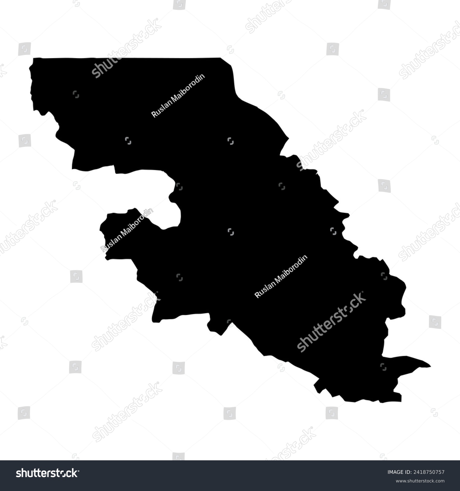
Falaba District map, administrative division of Sierra Leone. Vector illustration. • Royalty Free Stock Photo

Royalty Free Stock Image from Shutterstock 2418750757 by Ruslan Maiborodin

Download this image

Buy this photo Buy this photo

Use coupon AVOPIX10 and get 10% discount

Shutterstock ID 2418750757
Added January 29, 2024 (4 months ago)
Ratio 1
Adult NO
Vector size (EPS) Scalable vector
Huge size (JPG) 4000 x 4000 px, 0.2 Mb, 300 DPI

Categories: Signs/Symbols

Boundary Template Country Symbol Capital Atlas Line County Icon Isolated Sign Political White background Simple Division Cut out Outline Sierra leone Province Geography Design Drawing Federal National Vector State Department Graphic Map Area Border Mapping Texture Topography Black Banner Cartography Contour Detailed Administrative District Falaba Silhouette Illustration Region Chart Territory


Download Free Images

More than 400 000 free photos available for download

Boundary Template Country Symbol Capital Atlas Line County Icon Isolated Sign Political White background Simple Division Cut out Outline Sierra leone Province Geography Design Drawing Federal National Vector State Department Graphic Map Area Border Mapping Texture Topography Black Banner Cartography Contour Detailed Administrative District Falaba Silhouette Illustration Region Chart Territory


Falaba District map, administrative division of Sierra Leone. Vector illustration. is royalty free stock photo by Ruslan Maiborodin.
You can buy this royalty free stock image on Avopix.com and Shutterstock website.
With our discount coupon „AVOPIX10“ you will save 10 %.