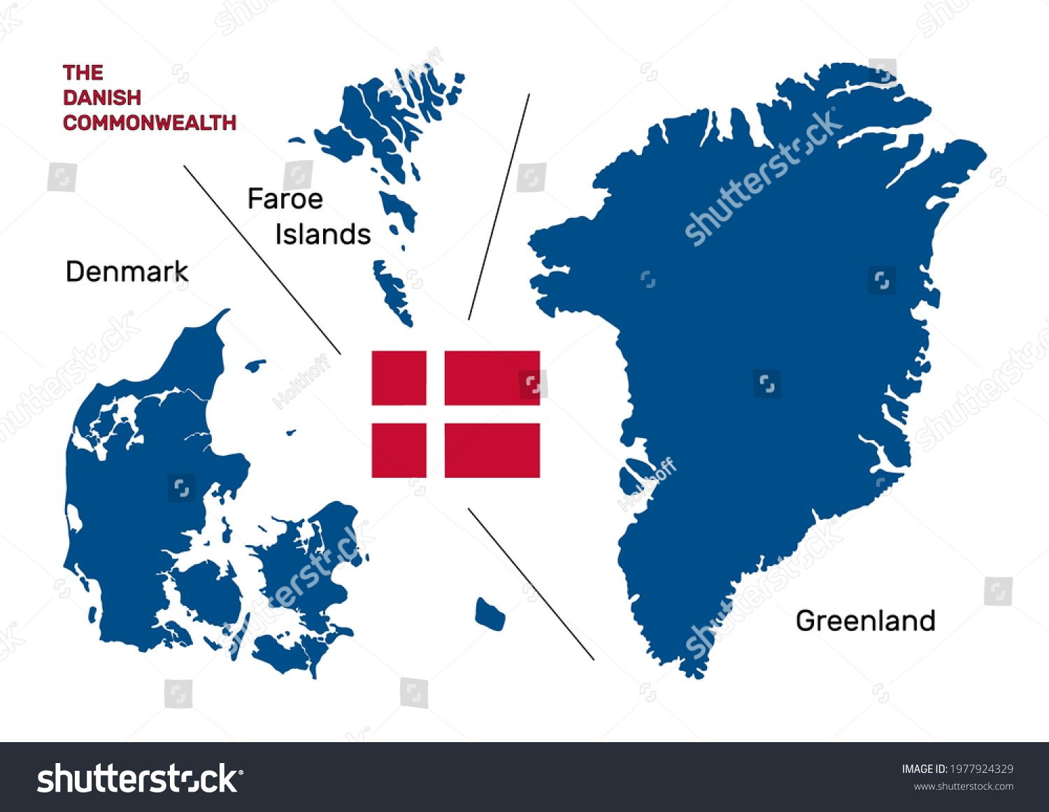
The Danish Commonwealth map of Denmark, the Faroe Islands and Greenland. Denmark vector map and its two autonomous territories with flag and names • Royalty Free Stock Photo
Royalty Free Stock Image from Shutterstock 1977924329 by Holthoff
| Shutterstock ID | 1977924329 |
|---|---|
| Added | May 22, 2021 (3 years ago) |
| Ratio | 1.4118 |
| Adult | NO |
| Vector size (EPS) | Scalable vector |
| Huge size (JPG) | 2400 x 1700 px, 0.7 Mb, 300 DPI |
Download Free Images
More than 400 000 free photos available for download
The Danish Commonwealth map of Denmark, the Faroe Islands and Greenland. Denmark vector map and its two autonomous territories with flag and names is royalty free stock photo by Holthoff.
You can buy this royalty free stock image on Avopix.com and Shutterstock website.
With our discount coupon „AVOPIX10“ you will save 10 %.