Professional royalty-free CARTOGRAPHER stock vectors and illustrations from Shutterstock
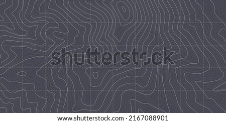
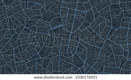
Trendy flat icon of a cartographer Royalty-Free Stock PhotoVector Vintage Topography Contour Outline Map With Relief Elevation Abstract Background. Cartographic Art Old Geographic Territory Treasure Hunt Adventure. Retro Colors Topographic Wide Wallpaper Royalty-Free Stock PhotoBlack White Topography Contour Outline Map With Relief Elevation Vector Abstract Background. Topographic Geography Wallpaper. Vintage Cartographic Art Old Geographic Territory Treasure Hunt Adventure Royalty-Free Stock PhotoCity map of Tula. Scheme of town streets. Gps line navigation plan. Black line road on white isolated background. Urban pattern texture. Vector
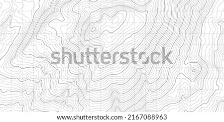
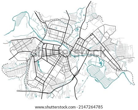
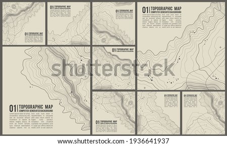
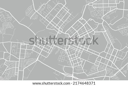
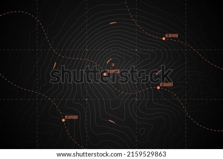
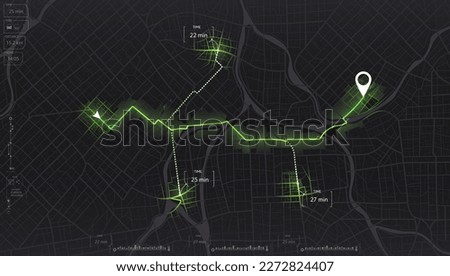
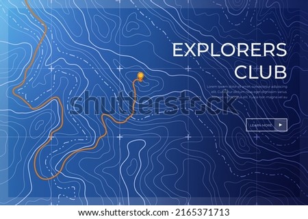
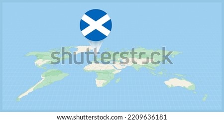
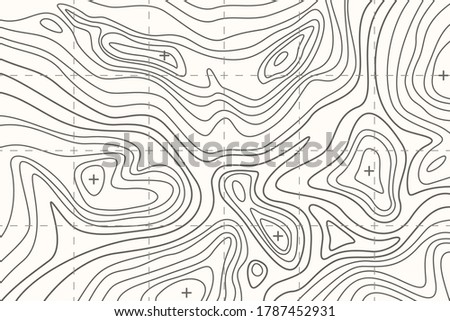
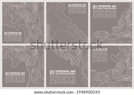
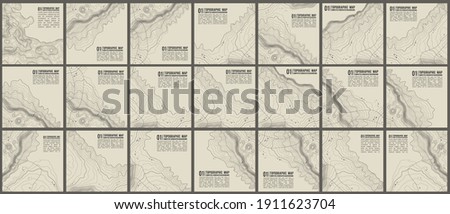
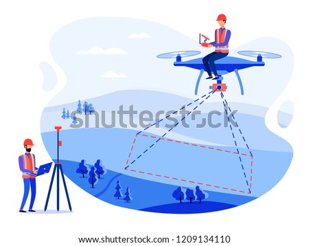
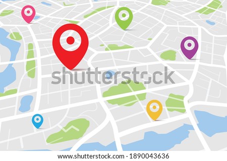
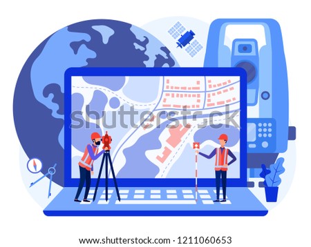
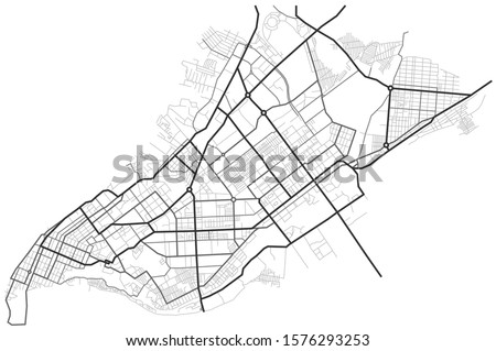
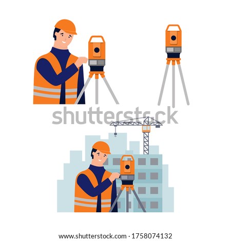
Royalty-Free Stock PhotoGeographic mountain topography vector illustration. Map on land vector terrain. Elevation graphic contour height lines. Royalty-Free Stock PhotoCity map. Town streets. Downtown gps navigation plan. Abstract transportation scheme. Drawing scheme town, white line road on gray background. Urban pattern texture. Vector Royalty-Free Stock PhotoVector Modern Dark Grey Topography Contour Map With Relief Elevation. Geographic Terrain Area Satellite View Digital Cartographic UI. Mountains Hiking Route Coordinates Abstract Illustration Royalty-Free Stock PhotoCartographer. Map and compass. Atlas book. Geography. Pixel Perfect Vector Thin Line Icons. Simple Minimal Pictogram Royalty-Free Stock PhotoBlue city area, background map, streets. Skyline urban panorama. Cartography illustration. Abstract transportation background, streetmap. Widescreen proportion, digita design streetmap. Vector Royalty-Free Stock PhotoPick up taxi. Gps map navigation to own house. Detailed view of city. Passenger location sharing for driver. Location tracks dashboard. 3D data dashboard. Urban highway plan. Royalty-Free Stock PhotoTopographic contour map with marker. Map pattern with mountain texture and grid. Route map. Travel in the mountains Royalty-Free Stock PhotoLocation of Scotland on the world map, marked with Scotland flag pin. Cartographic vector illustration. Royalty-Free Stock PhotoMonochrome map illustration of Mataram City, Lombok Island, Indonesia. White color shows the road, and blue color shows the ground. Vector Street Map suitable for geographic cartographic background Royalty-Free Stock Photo3D Isometric map with destination location point, Aerial clean top view of the day time city map with street and river, Blank urban imagination map, GPS map navigator concept, vector illustration Royalty-Free Stock PhotoSpecified piece of land for sale on the map. Land plot in ownership, sale, rent, purchase Royalty-Free Stock PhotoSurveyor, cadastral engineer, cartographer, cartoon smile character, theodolite, total station, surveying equipment. Summer landscape with green hills, fields and trees. Vector flat illustration. Royalty-Free Stock Photo3D Isometric map with destination location point, Aerial clean top view of the day time city map with street and river, Blank urban imagination map, GPS map navigator concept, vector illustration Royalty-Free Stock PhotoMap icon isolated on white background. Abstract City Map With red Marker. GPS navigation or cartographic concept. Vector illustration in flat style. EPS 10. Royalty-Free Stock PhotoRetro globe on white background. Vintage style world vector picture. Nautical decoration. Back to school. Picture for design, logo and card. Royalty-Free Stock PhotoTopographic map with contour lines Royalty-Free Stock PhotoIllustration Featuring a Cartographer With Map Drawing Tools Scattered Across His Table Royalty-Free Stock PhotoMap icon isolated on white background. Abstract City Map With red Marker. GPS navigation or cartographic concept. Vector illustration in flat style. EPS 10. Royalty-Free Stock PhotoTopographic map or sheet with contours, relief, features, mountain texture and grid. Background for cartographical, topographical, geographical projects. Vector landscape illustration. Royalty-Free Stock PhotoGeographic mountain topography vector illustration. Topographic pattern texture. Map on land vector terrain. Elevation graphic contour height lines. Vector Set. Royalty-Free Stock PhotoTopographic pattern texture vector Set. Grey contours vector topography. Geographic mountain topography vector illustration. Map on land vector terrain. Elevation graphic contour height lines. Royalty-Free Stock PhotoConcept cadastral engineers, surveyors and cartographers make geodetic measurements using a drone, copter. Vector flat illustration. Royalty-Free Stock Photo3D top view of a map with destination location point, Aerial clean top view of the day time city map with street and river, Blank urban imagination map, GPS map navigator concept, vector illustration Royalty-Free Stock PhotoConcept cadastral engineers, surveyors and cartographers produce geodetic survey of the area using theodolite and map on a laptop. Vector flat illustration. Royalty-Free Stock PhotoSamara city map - town streets on the plan. Map of the scheme of road. Urban environment, architectural background. Vector Royalty-Free Stock PhotoSurveyor, cadastral engineer, cartographer and theodolite. Set of vector illustration in flat style on white background Royalty-Free Stock Photo